 PluraFusion
Geo · Classifyevery point, its class
Every point.Its class.
One press sorts a whole survey — and it learns your classes.
One pressthe whole survey
Drag the line.See the difference.
Ground, buildings, vegetation, water — sorted in moments on your graphics card.
- The whole cloud or just the view
- Unsure points never guessed
- Standard classes in every export
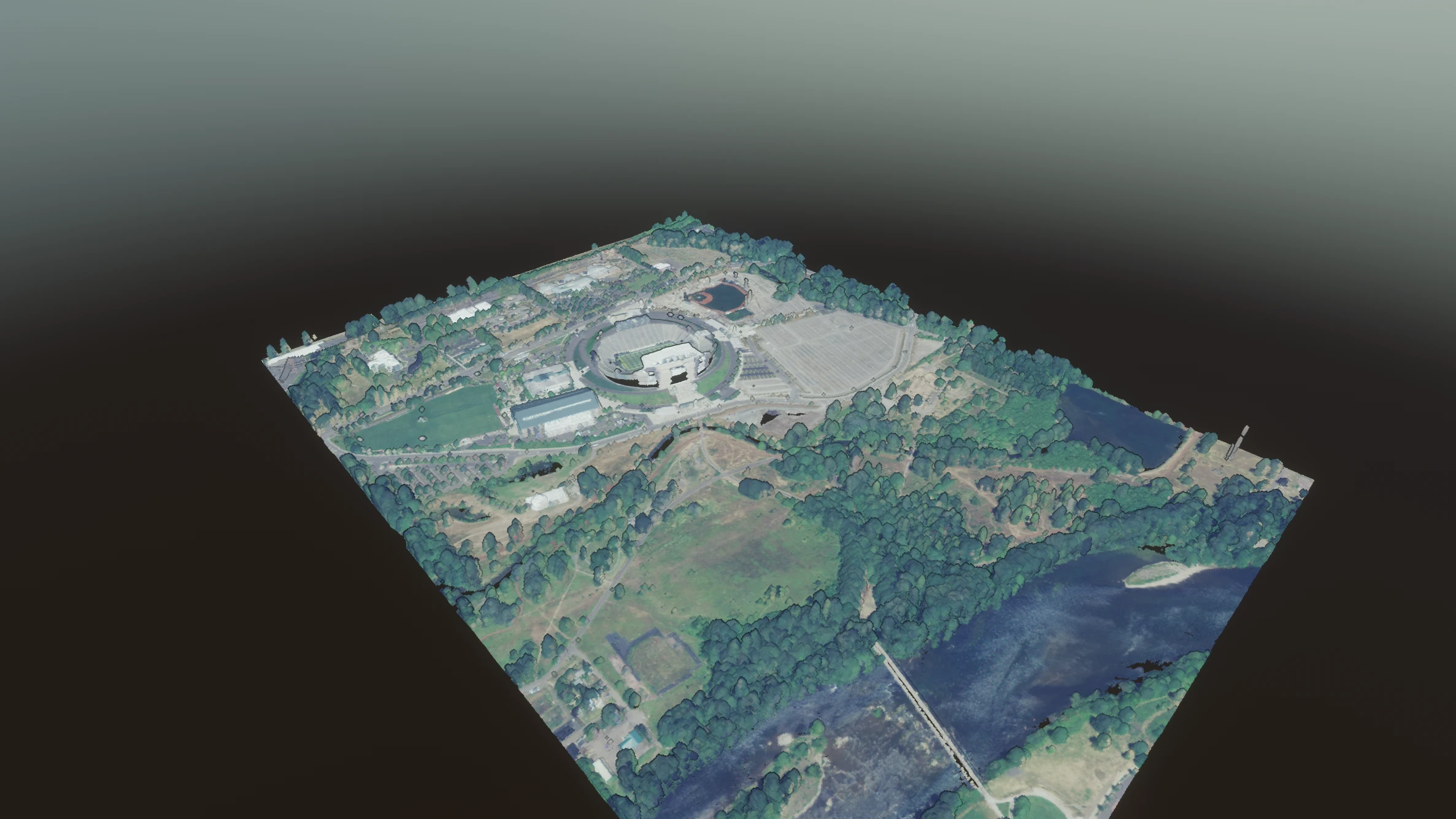
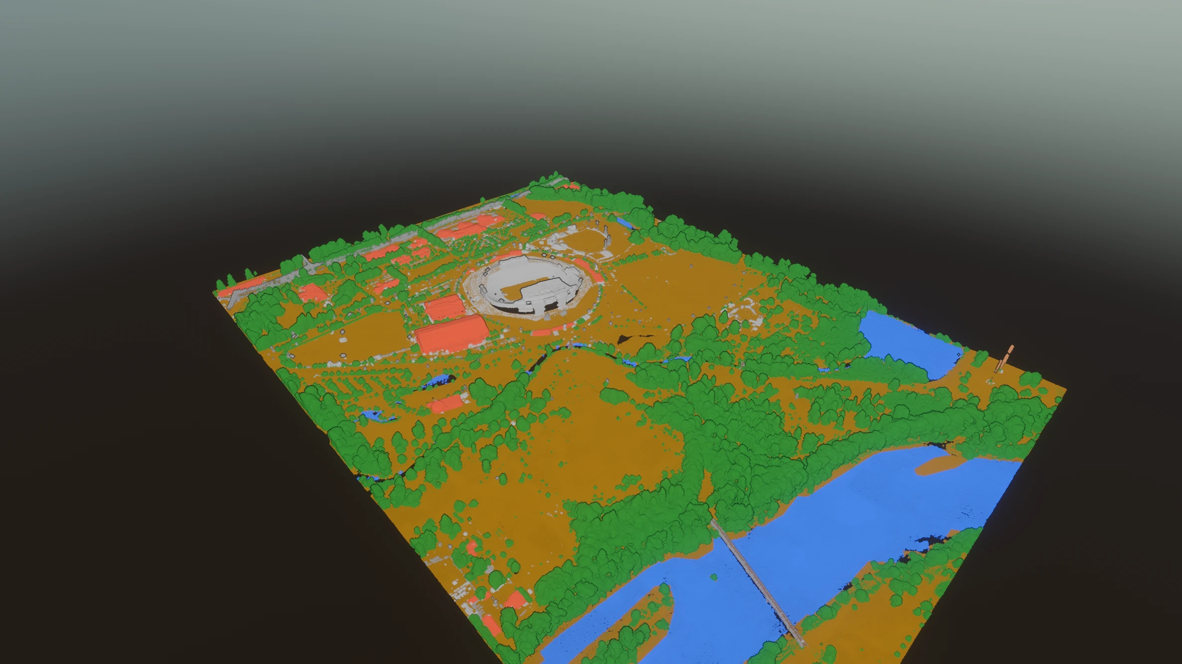 As surveyedBy class
Teach itby example
Show it a few.It finds the rest.
Brush three trees, ask for more like them — and keep what it learned.
- Your own classes
- Brush, lasso, polygon, box
- A model for the next job
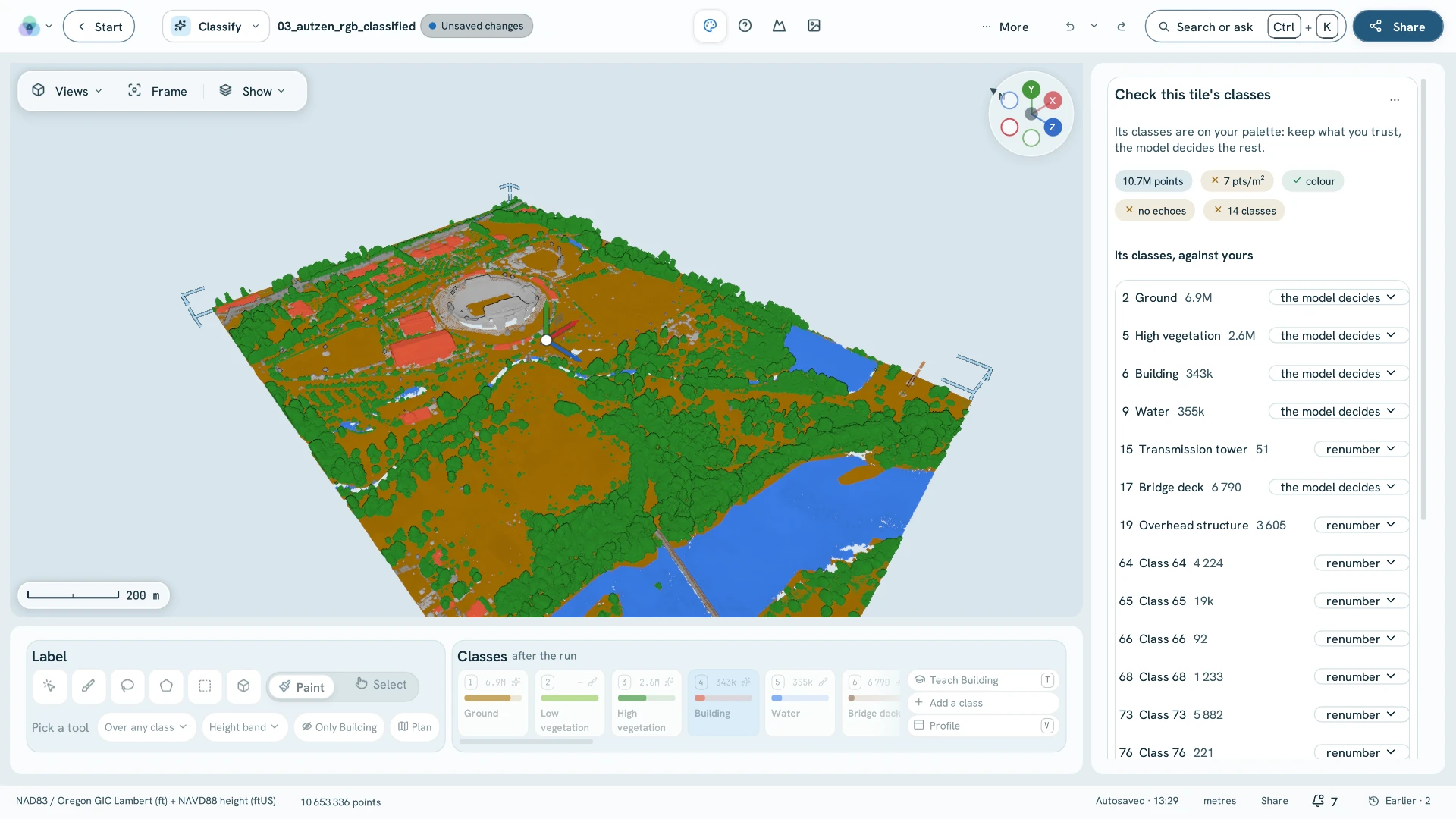
Checkwhere it was unsure
It shows youwhere to look.
Every doubtful spot, one after another: right, wrong, next.
- Places in order of doubt
- Profiles through the cloud
- Every answer improves it
City scaleclassified
A whole city,sorted.
District after district — and still smooth to fly through.
And thenclasses do the work
Classes thatdo the work.
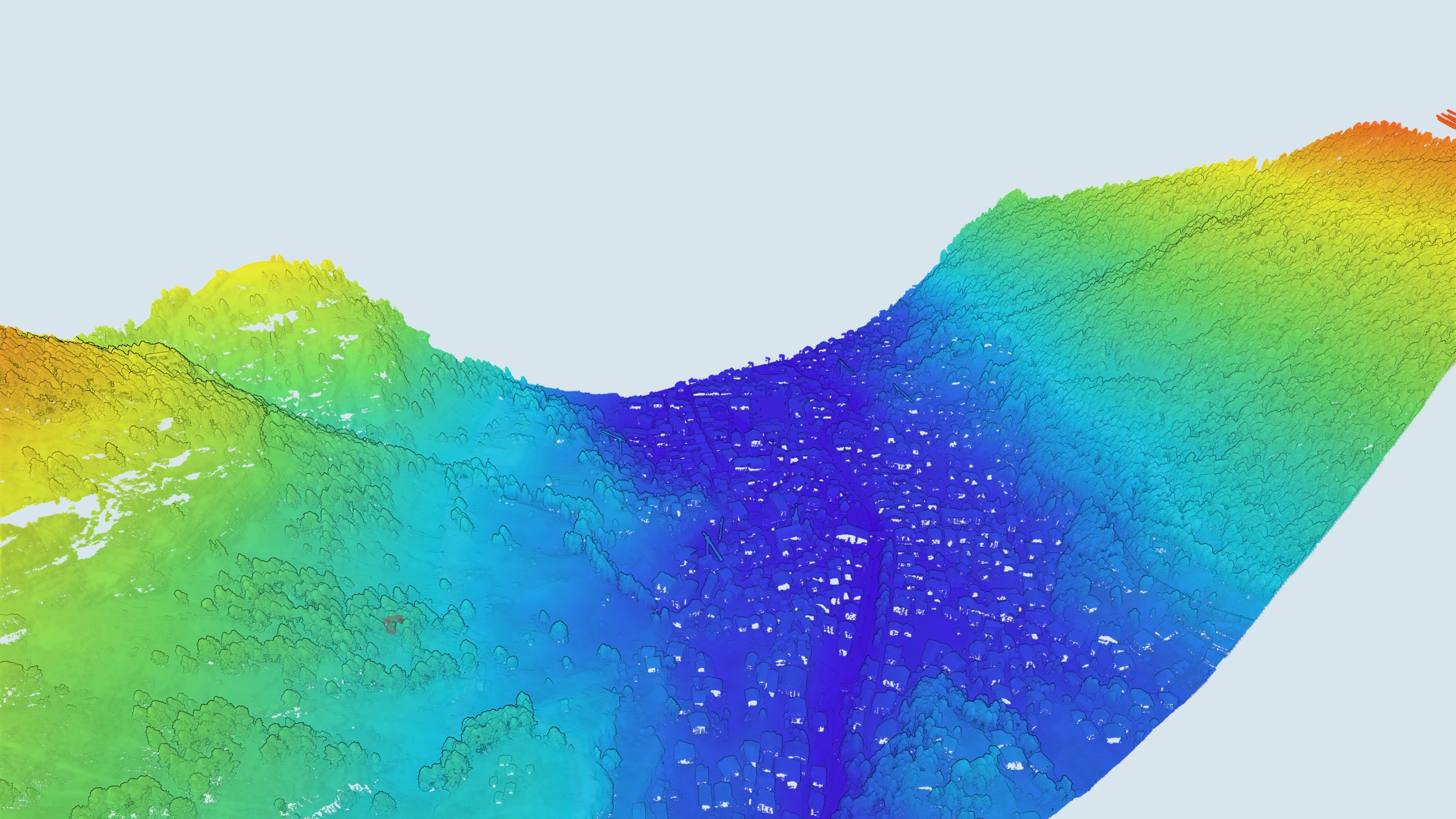
Ground turns into terrain, buildings into models — no export in between.
- Terrain and contours
- Buildings to Scan to BIM
- Colour by anything
Nextone click away
Where to go next
Bring a survey.Sort it today.
Classification is part of the Geo package.